

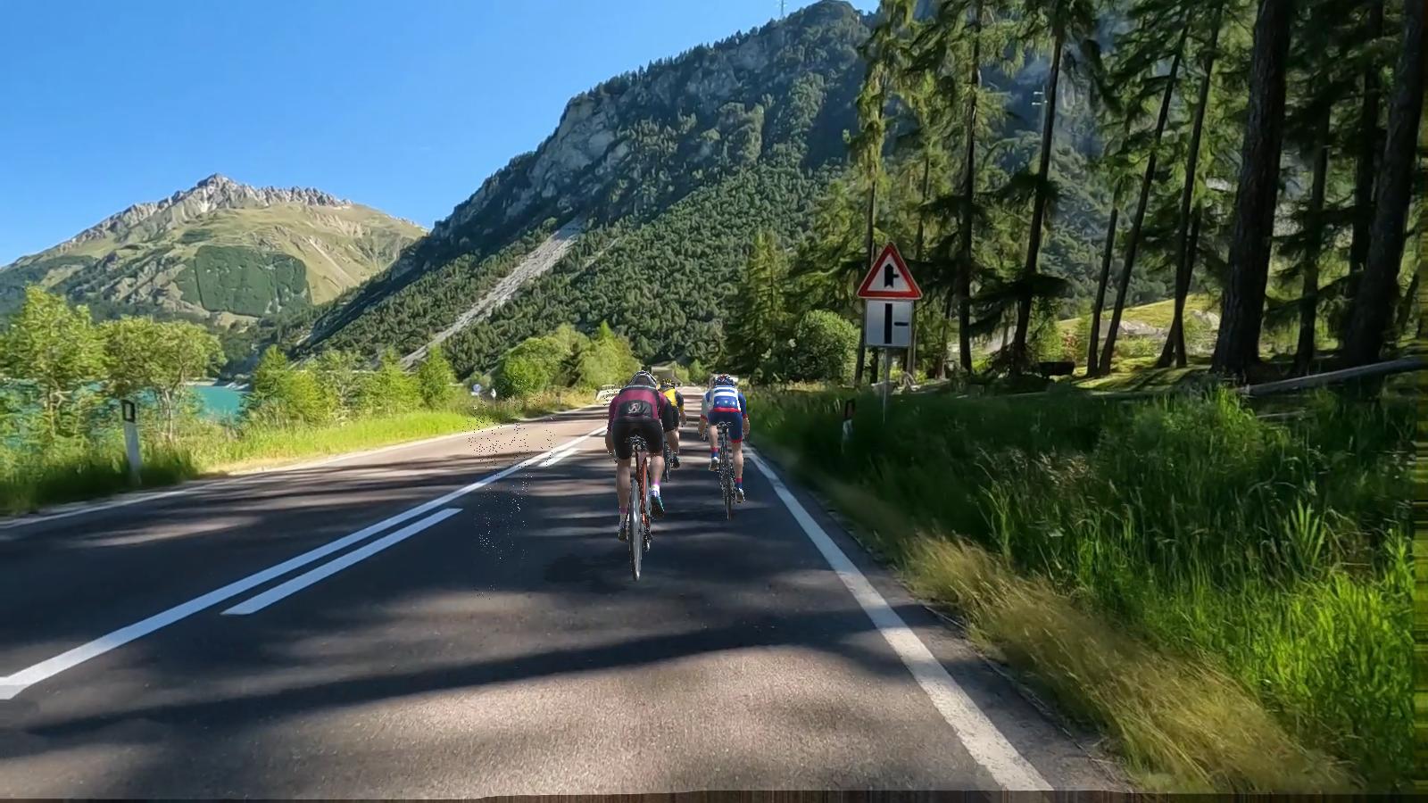
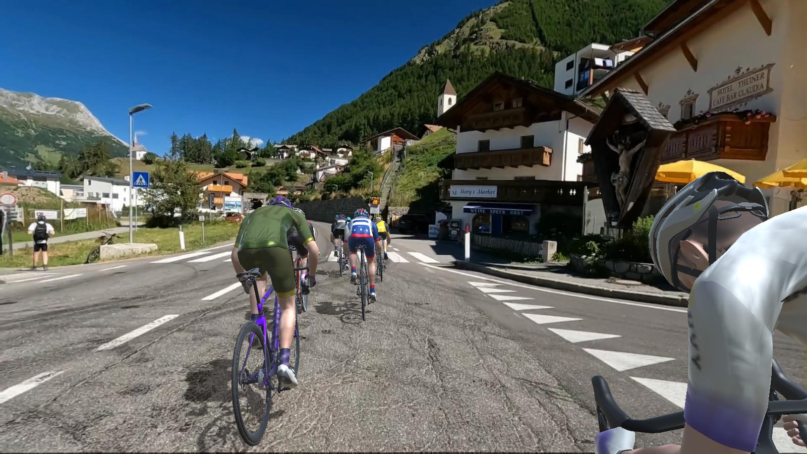
Bike through the Austrian state of Tyrol, starting in Nauders and passing by the famous Lago di Resia with its mythical submerged 14th-century church steeple. Enjoy stunning views of mountains, farmland, and rural villages with a downhill finish.
RIDE RECAP:
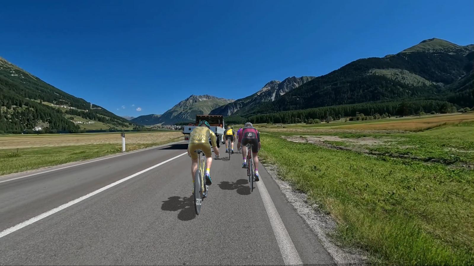
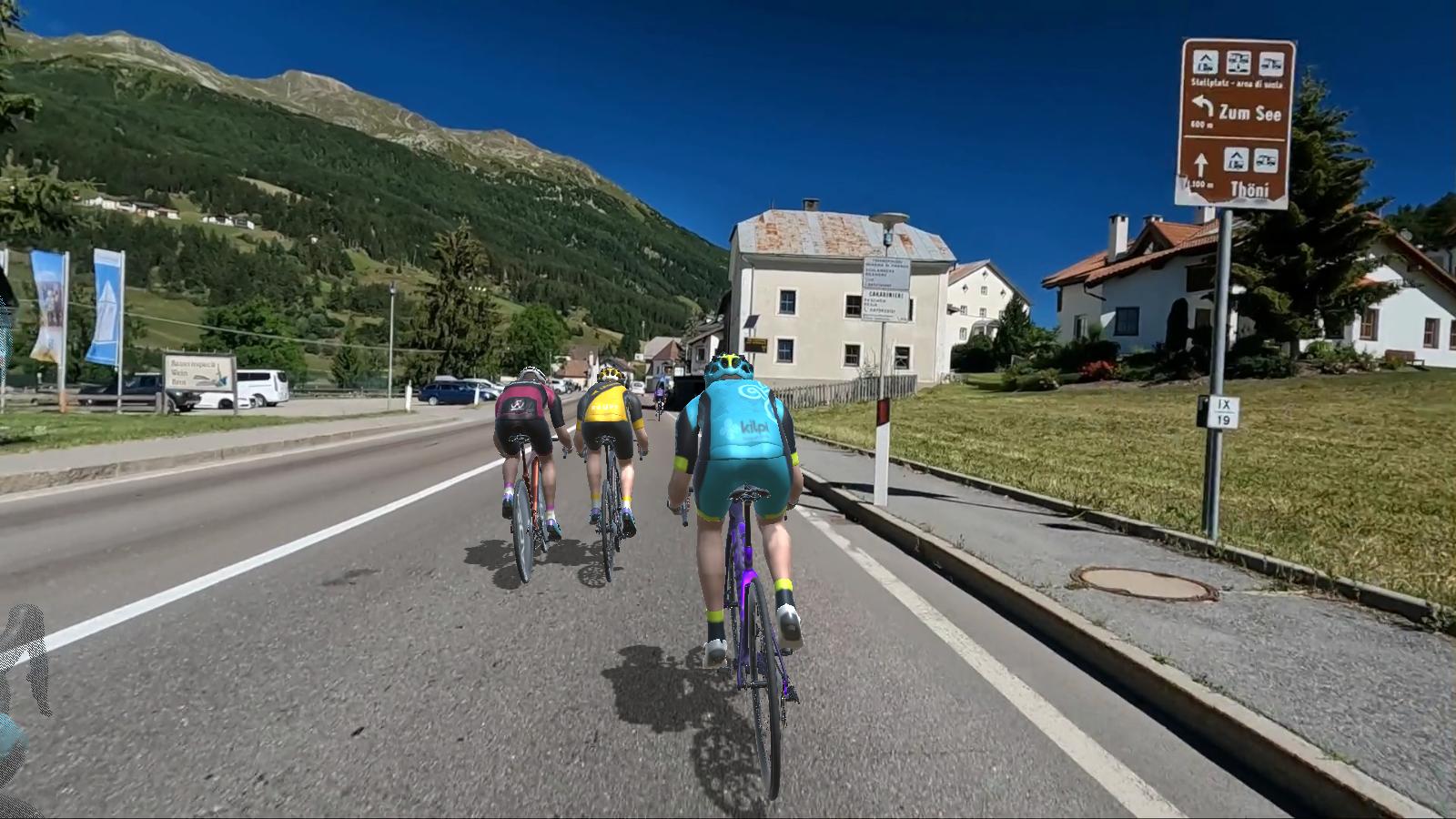
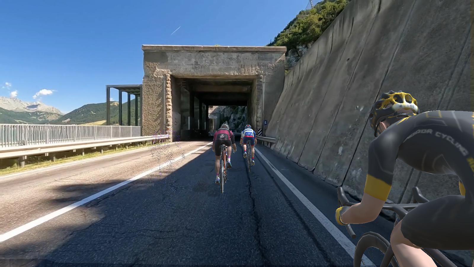
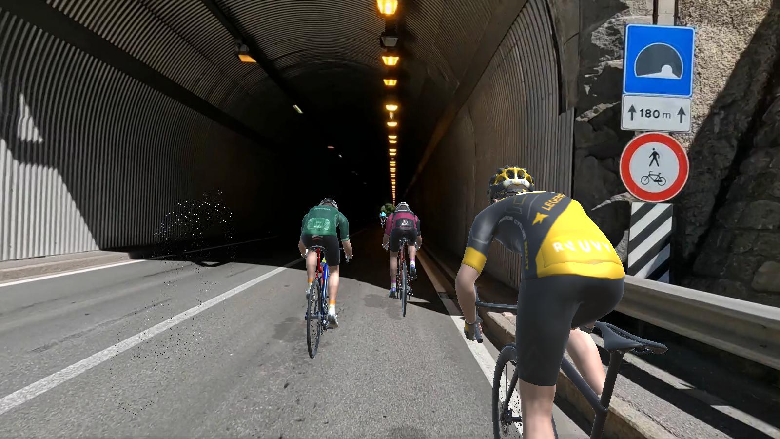
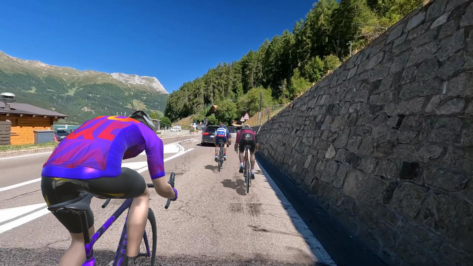
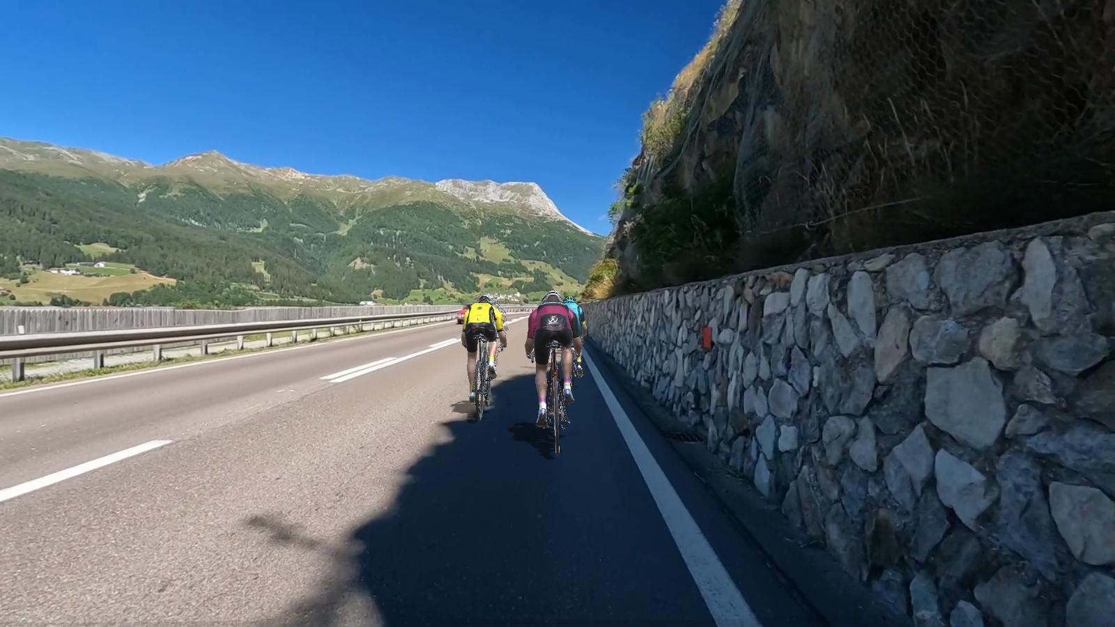
Another great ride through Italy! Another amazing group of over 35+ riders! 2 riders broke away early and were caught before we entered Nauders. The middle climb did spread the front group apart. I stayed with 2 other riders who kept the pressure up on the climb at 4.5 to 5 w/kg. I rode mostly there out-of-the-saddle at a comfortable cadence. The last section of downhill was fun for all! A great ride for everyone and thank you again for joining Als Ride Club!
HISTORICAL:
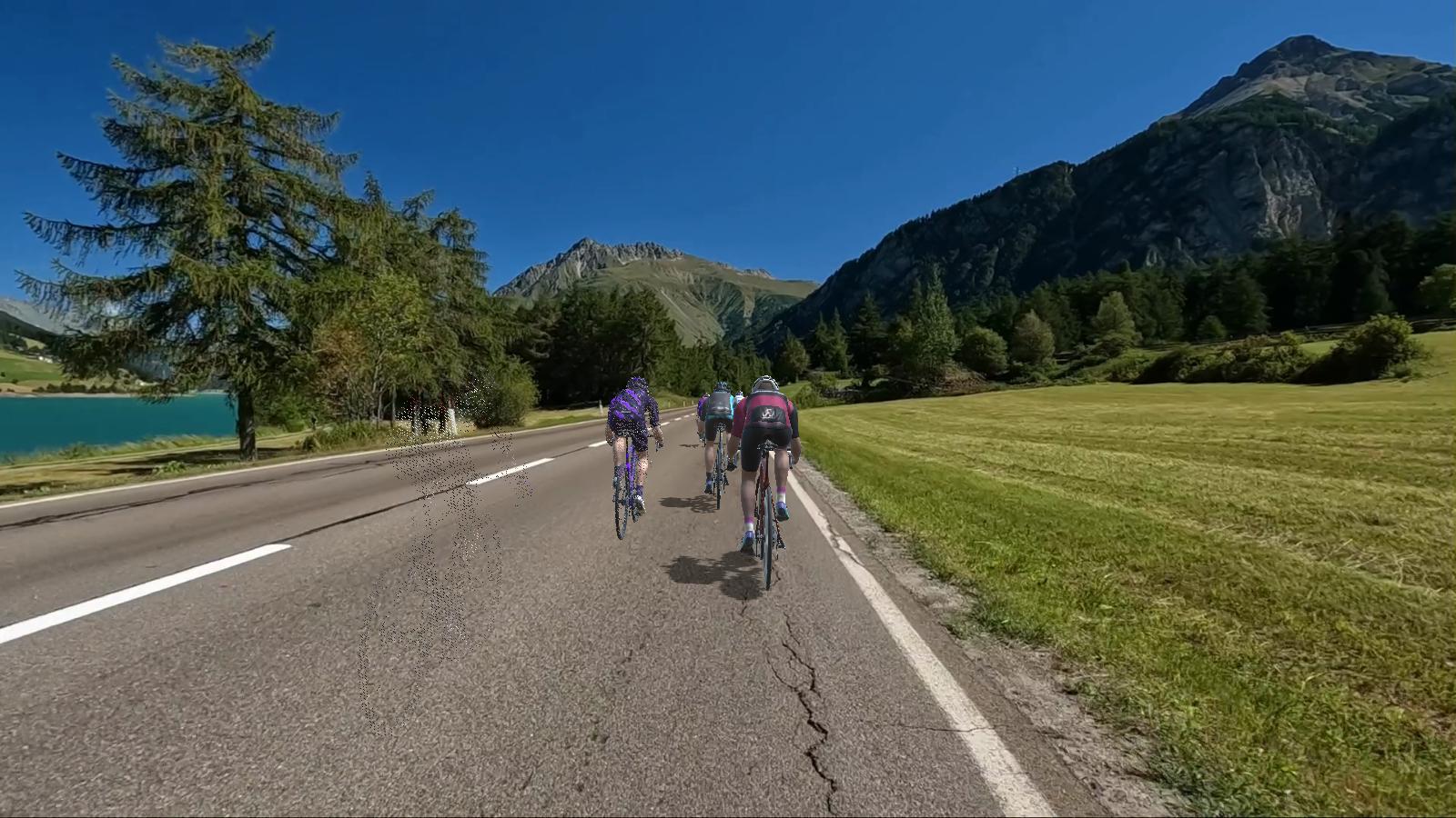
Reschensee is the Austrian German pronunciation and Lago di Resia or Lake Reschen is an artificial lake in the western portion of South Tyrol, Italy, approximately 2 km (1 mi) south of the Reschen Pass, which forms the border with Austria and 3 km (2 mi) east of the mountain ridge forming the border with Switzerland. With its capacity of 120 million m3 (97,000 ac·ft) it is the largest lake in the province. Its surface area of 6.6 km2 (2.5 sq mi) makes it also the largest lake above 1,000 m (3,300 ft) in the Alps. It is fed by the Adige Rojenbach and Karlinbach rivers and drained by the Adige.
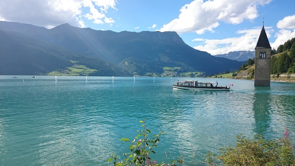
The lake is famous for the steeple of a submerged 14th-century church; when the water freezes, this can be reached on foot. A legend says that during winter one can still hear church bells ring. In reality the bells were removed from the tower on July 18, 1950, a week before the demolition of the church nave and the creation of the lake.
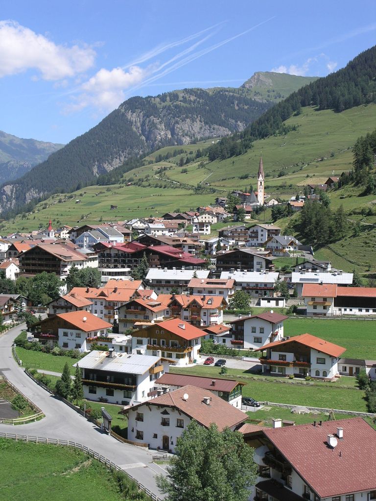
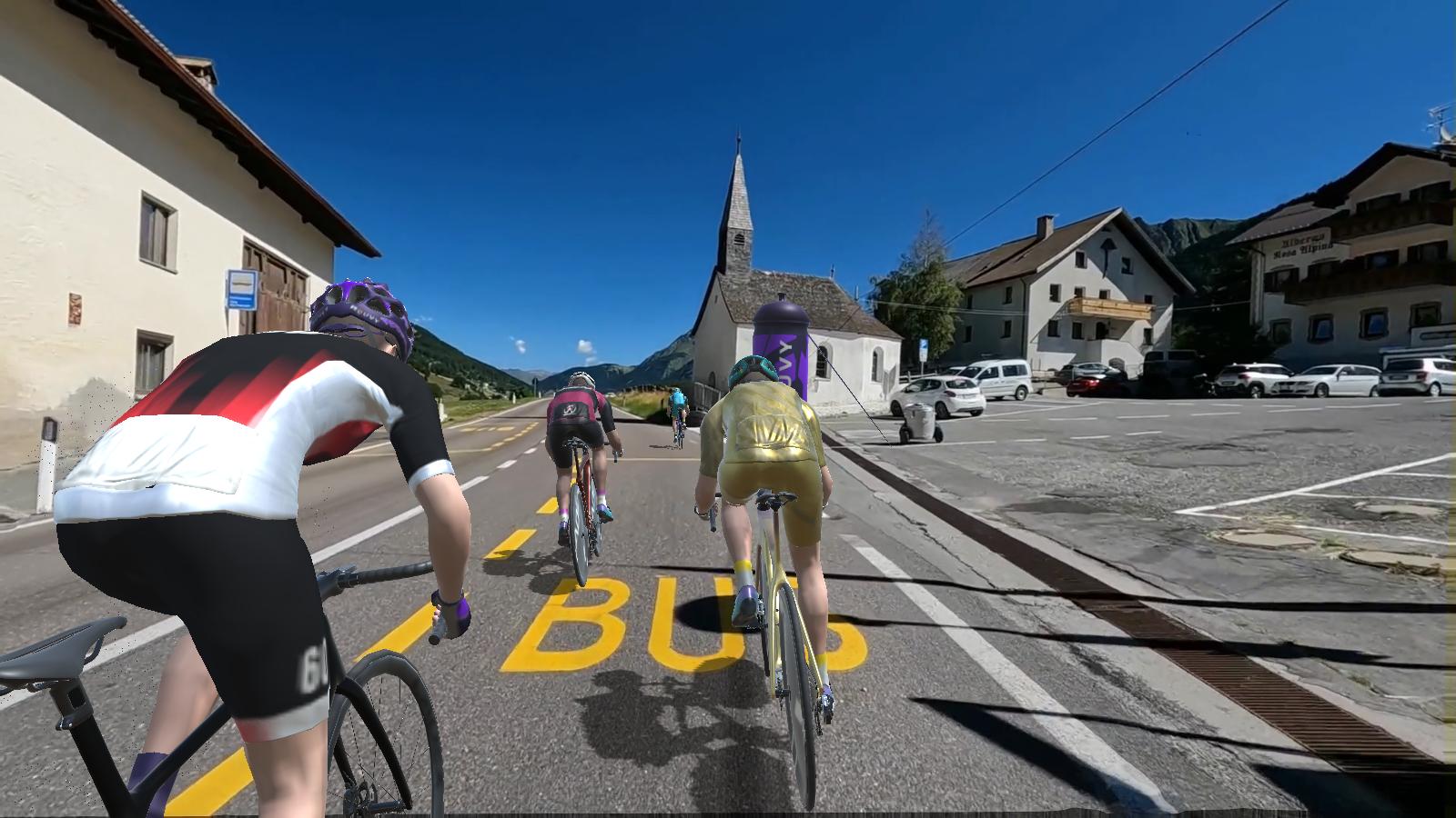
Nauders is the town lies in the valley of the Stillebach (a tributary of the Inn) in the Ötztal Alps, at an altitude of 1,394 m (4,573 ft). It is located about 29 km (18 mi) south of the district capital Landeck, on the road that leads from Pfunds in the Inntal valley via the narrow Finstermünz Gorge up to Reschen Pass and the border with the Vinschgau region in South Tyrol, Italy. Nearby is the tripoint with the Swiss border; in the west, a road leads into the Sesvenna Alps and to Martina in the Lower Engadin valley.(Wikipedia)
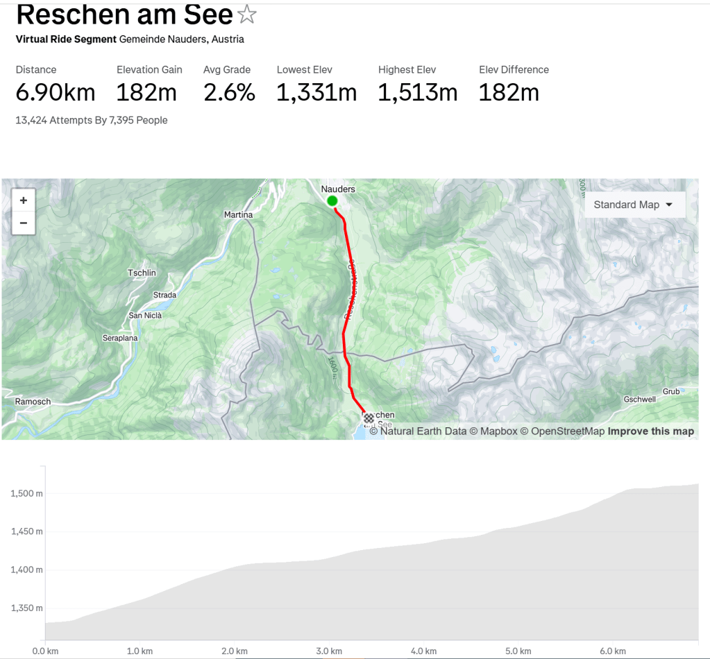
COURSE COMMENTS:
The Strava segment is from Reschen am See measuring 6.9 KM with an elevation gain of 182 meters.
This course is a middle distance course of 28.12 miles with an average gradient of 1% with a maximum of 7%, with an elevation of 1,017.06 feet. The course was added to ROUVY on August 05, 2022. There is a tough steady climb that starts at mile 12 and goes for about 4.5 miles at a steady incline of 1-5% peaking out at 4995.9 feet in elevation. Then there is a flat section with a finishing downhill run that starts at mile 23 until the finish.
Here are some stats:


Leave a comment