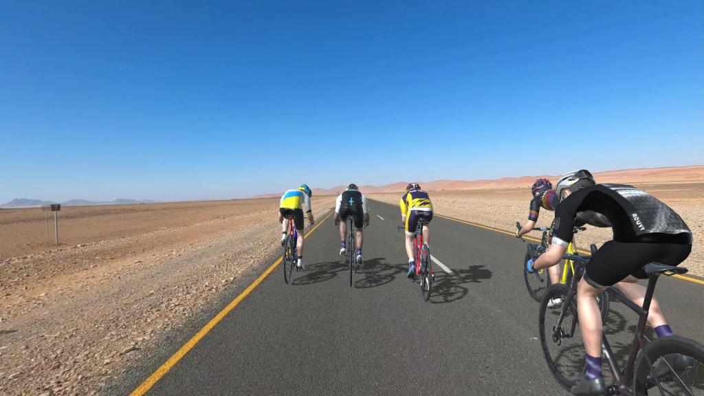
Unfortunately, I had a late start today. It was a great ride today.
This is one of my favorite routes on ROUVY. There is another short course called “Lago di Garda WEST”, which has a nice climb through the second half of the course and measures about 13.67 miles.
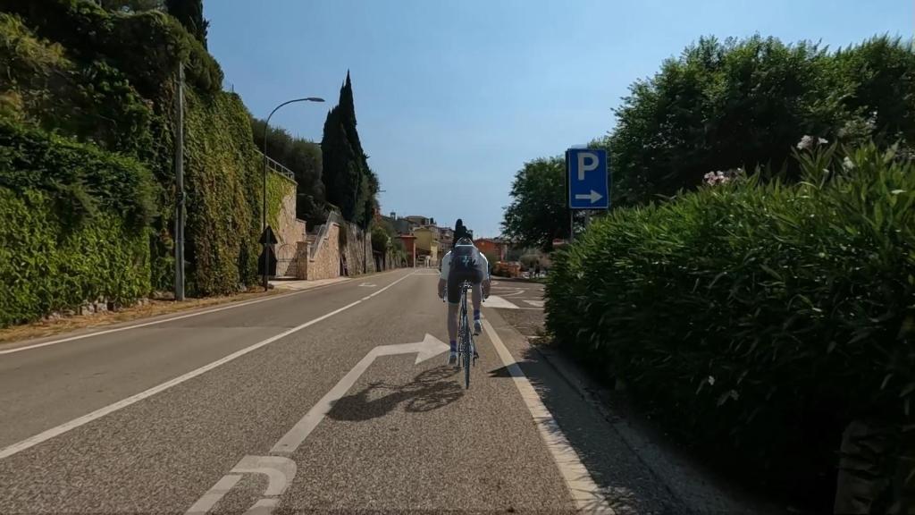
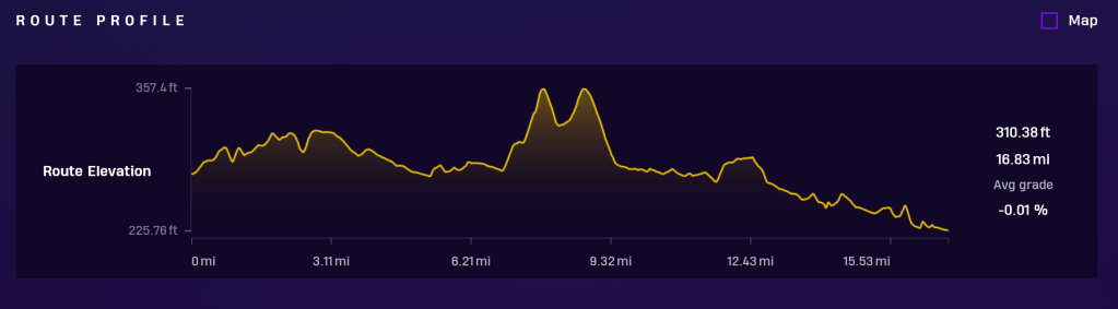
This course is not long (about 16.83 miles), but it is certainly one of the most picturesque and beautiful! The course has about 312 ft of elevation making it a relatively flat and downhill course. I would say it is more like a rolling hill course.
The course is located in the northern Italy, Lago di Garda, or Lake Garda region. It is a spectacular and popular location surrounded by mountains, picturesque towns, beaches, hills, and nature.
It starts flat with a slight elevation and then there are some rolling 1-2 degree up hills throughout the course. The average uphill gradient is 1.5%.
COURSE COMMENTS:

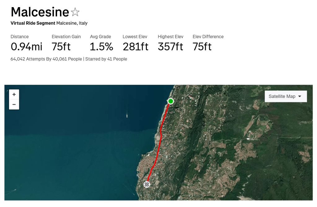
The STRAVA course LIVE segment section is Malcesine.
HISTORICAL:
The Lake Garda area is considered one of the most seismic in Italy. The oldest known earthquake that struck the Garda region seems to have occurred in 243 (or perhaps 245): it was so disastrous that the city of Benaco, located where Toscolano Maderno stands today, suddenly disappeared. The disappearance of the town is probably due to the cracking and landslide of the mountain above Toscolano, which caused the flooding of a small lake enclosed by the mountains, whose waters submerged the populous town.
Other earthquakes, more or less intense, followed one another periodically: in 793, when according to the chroniclers it caused great calamities, especially in the Baldo area; in 1457, during which a mountain above Salò lowered; in 1703, when it caused the fall of numerous houses and caused many victims; in 1810, an earthquake particularly hit Malcesine where it caused a clouding of the waters and the formation of a crack 200 metres (660 feet) long and 18 centimetres (7.1 inches) wide in the town square; in 1836, when the tremors caused some landslides in Mount Tomè, in the northernmost part of Monte Baldo, which in turn caused a strong eruption of water.
In 1866 a rather long period of seismic agitation began in the Baldo area, with earthquakes of varying intensity, tremors, shaking and other phenomena of lesser importance, which saw as the most important event the earthquake of 5 January 1892, which shook the entire Garda region with extraordinary violence, causing the fall of chimneys and walls.
Other earthquakes more recently hit Salò and its surroundings, in particular, the earthquake of 31 October 1901 caused widespread damage to buildings, some collapses and cracks in the ground, while another earthquake in 2004 caused damage to some buildings. (Wikipedia)
This short distance course measures 16.83 miles. The course elevates to 310.38 ft over 16.83 miles with an average overall course gradient of -0.01 %, so it’s overall flat. There is a max gradient section of 4% on the LIVE SEGMENT. The course was added on ROUVY on September 13, 2022.


Leave a comment